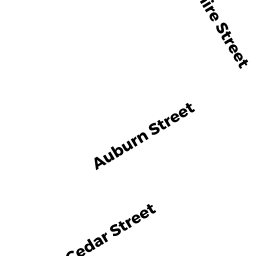
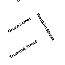
18 - 20 CEDAR ST
Owner Information
MEDINA LISSA
18 - 20 CEDAR ST
LAWRENCE, MA 01841


Property Details
18 - 20 CEDAR ST is classified as a Three-Family Residential (Family flat).
The primary structure on this property was built in 1910. There are 5983ft2 of built area within this property. There is 4323ft2 of residential/living space within this property. This property is listed as having 18 rooms.
18 - 20 CEDAR ST is valued at 442700. The land is valued at 95400 and the structures are valued at 347300.
This property is in Zone R-3. Confirm with local Zoning Board authorities to ensure there are no overlays or other easements on this property.
The most recent deed for 18 - 20 CEDAR ST is recorded at the local registrar in Book 15748, Page 212. 18 - 20 CEDAR ST was last sold on 2019-01-31 for 320000.
Assessment data from fiscal year 2022.
Flood Data
According to the FEMA National Flood Hazard Layer, this property does not appear to be in a flood zone. It may also be in an area not yet reviewed. Nonetheless, confirm this information prior to taking any action.
To view the flood hazards around this property, create a FEMA "Firmette" Map of the area around 18 - 20 CEDAR ST.
Broadband Internet Providers
| Provider | Type | Bandwidth (mbps) | |
|---|---|---|---|
| HughesNet | Satellite | 25 | 3 |
| GCI Communication Corp. | Satellite | 0 | 0 |
| Comcast | Cable | 1000 | 35 |
| Verizon New England Inc. | Fiber | 940 | 880 |
| Verizon New England Inc. | DSL | 15 | 1 |
| Viasat Inc | Satellite | 100 | 3 |
| Crown Castle Fiber | Fiber | 0 | 0 |
| VSAT Systems, LLC. | Satellite | 2 | 1 |
Broadband service provider data from December 2020.
Adjacent Properties
- 26 CHARDON ST
Two-Family Residential owned by POLANCO IVANOVA D J/T - 14 CEDAR ST
Single Family Residential owned by OZORIO DE POLANCO DOMINGA - 22 - 24 CEDAR ST
Three-Family Residential owned by JAVIER SANTIAGO T/E - 47 CROSS ST
Single Family Residential owned by DELGADO RAMON - 51 CROSS ST
Two-Family Residential owned by PERALTA FERNANDO T/E - 24 CHARDON ST
Single Family Residential owned by HELLEIS-LORENZO JEANNETTE